
Tracking the Atlantic Ocean’s Inland Creep in Miami-Dade County
U.S. Geological Survey report documents underground movement of salt water.

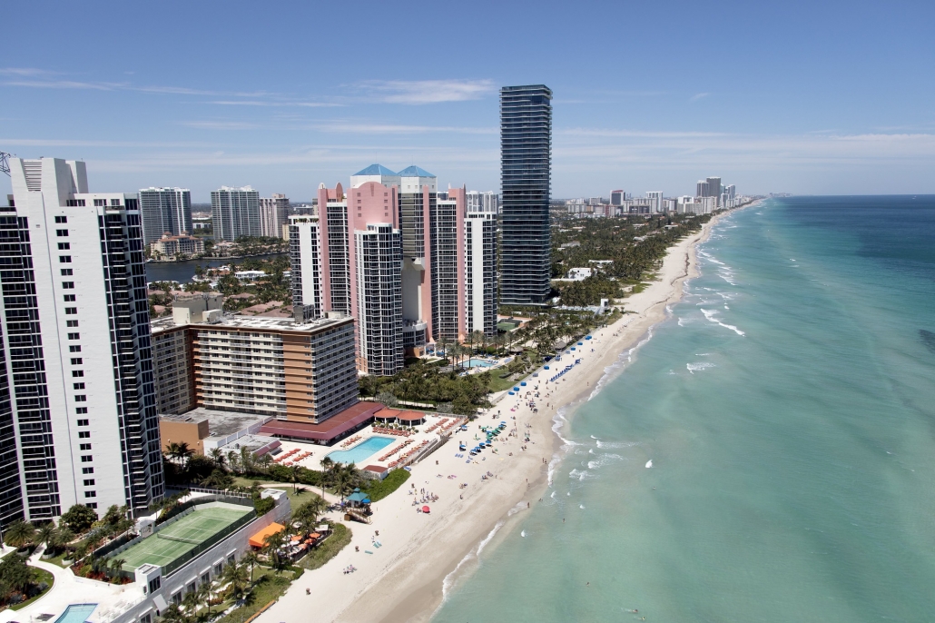
Sunny Isles Beach, in northern Miami-Dade County. Photo courtesy of U.S. Army Corps of Engineers, Jacksonville District
By Brett Walton, Circle of Blue
It’s a gentle intruder, moving stealthily underground, out of sight but not undetected. Salt water continues to move farther inland in Florida’s Miami-Dade County, albeit at a slower rate, according to new U.S. Geological Survey mapping.
Researchers and water managers in southern Florida keep a wary eye on the ocean’s landward thrust because of the region’s precarious freshwater balance. All of Miami-Dade County’s municipal water, which serves several million residents and visitors, comes from groundwater, primarily from a thin lens of fresh water called the Biscayne Aquifer.
Rising seas are a visible threat to coastal areas. But the danger above is mirrored below in the form of rising salt concentrations in many coastal aquifers. In Miami-Dade County, the USGS study mapped the boundary where salt water meets the base of the Biscayne. Because it is less dense, fresh water sits on top of the saltwater wedge, which is thickest near the coast and thinner inland.
The leading edge of the saltwater layer in the southeastern part of the county, the area of greatest intrusion, moved inland at a pace of 102 meters per year between 2014 and 2018.
Salt water can be pushed inland because of rising seas or infiltration from the region’s drainage canals. It can also be pulled by groundwater pumping that lowers the level of fresh water in the aquifer. Rainfall plays a role, as do the geological properties of the aquifer, such as how freely water flows through pores in the sand and limestone layers.
“The balance of these factors varies throughout the county,” Scott Prinos, the USGS hydrologist who did the mapping, told Circle of Blue. The aquifer, for instance, is 275 feet thick in the county’s northern reaches, but only 80 feet in the southeast.
Miami-Dade Water and Sewer Department, which supplies 2.3 million people, is keenly aware of the threat, and it works with federal researchers to assess the risk. Salts in the aquifer are not welcome. They can spoil the supply or result in expensive treatment. For now, though, saltwater intrusion “is not a concern,” according to Jennifer Messemer-Skold, a spokesperson.
The department’s “primary wellfields are located significantly west of the salt front, and no impacts are anticipated as a result of salt water migration inland to [the department’s] drinking water supply sources,” Messemer-Skold told Circle of Blue.
Jose Cueto, assistant director for planning and regulatory compliance, told Circle of Blue that computer models of sea level rise and groundwater interactions revealed “adequate protection” for the department’s major wells through 2040. A new analysis through 2075 is being developed.
Though major water supply wells are farther inland, the front is approaching one minor well in the higher-risk southeastern area. Prinos estimated in 2016 that the front would reach Newton wellfield, which has a capacity of 4 million gallons a day, by 2026. Those calculations would need to be reworked, he said, given the apparent slowdown in the front’s movement. Cueto said that wellfield would be phased out in the future.
The water department is taking other actions to reduce risk. In 2007, it set a goal of reducing demand by 6 percent, or 19.6 million gallons a day. Using less water would relieve some of the pressures on the Biscayne Aquifer. The deadline for achieving that goal is 2026.
The department offered residents rebates for low-flow toilets and showerheads. It provided free irrigation system audits for homeowners and condos. It established tiered water rates, a pricing tool for conservation, in which the cost per gallon increases as water use increases. And it set permanent restrictions on lawn watering, limiting the practice to twice a week outside of the hottest part of the day. At the end of last year, demand had been cut by 15 million gallons a day.
Better tools are needed to understand changes in the rate of change in saltwater concentrations in the aquifer, Prinos said. That includes more on-the-ground measurements in addition to computer models that account for the aquifer’s nuanced interaction with salt water. Estimates of the pace of inland movement can be made today only where there are sufficient monitoring wells.
“Only recently do we have enough monitoring wells to see some of these changes,” Prinos said.

Brett writes about agriculture, energy, infrastructure, and the politics and economics of water in the United States. He also writes the Federal Water Tap, Circle of Blue’s weekly digest of U.S. government water news. He is the winner of two Society of Environmental Journalists reporting awards, one of the top honors in American environmental journalism: first place for explanatory reporting for a series on septic system pollution in the United States(2016) and third place for beat reporting in a small market (2014). He received the Sierra Club’s Distinguished Service Award in 2018. Brett lives in Seattle, where he hikes the mountains and bakes pies. Contact Brett Walton

")


")


Leave a Reply
Want to join the discussion?Feel free to contribute!