U.S., Mexican Scientists Collaborate on Border Aquifer Research
First-ever assessment program confirms boundaries of two shared aquifers.
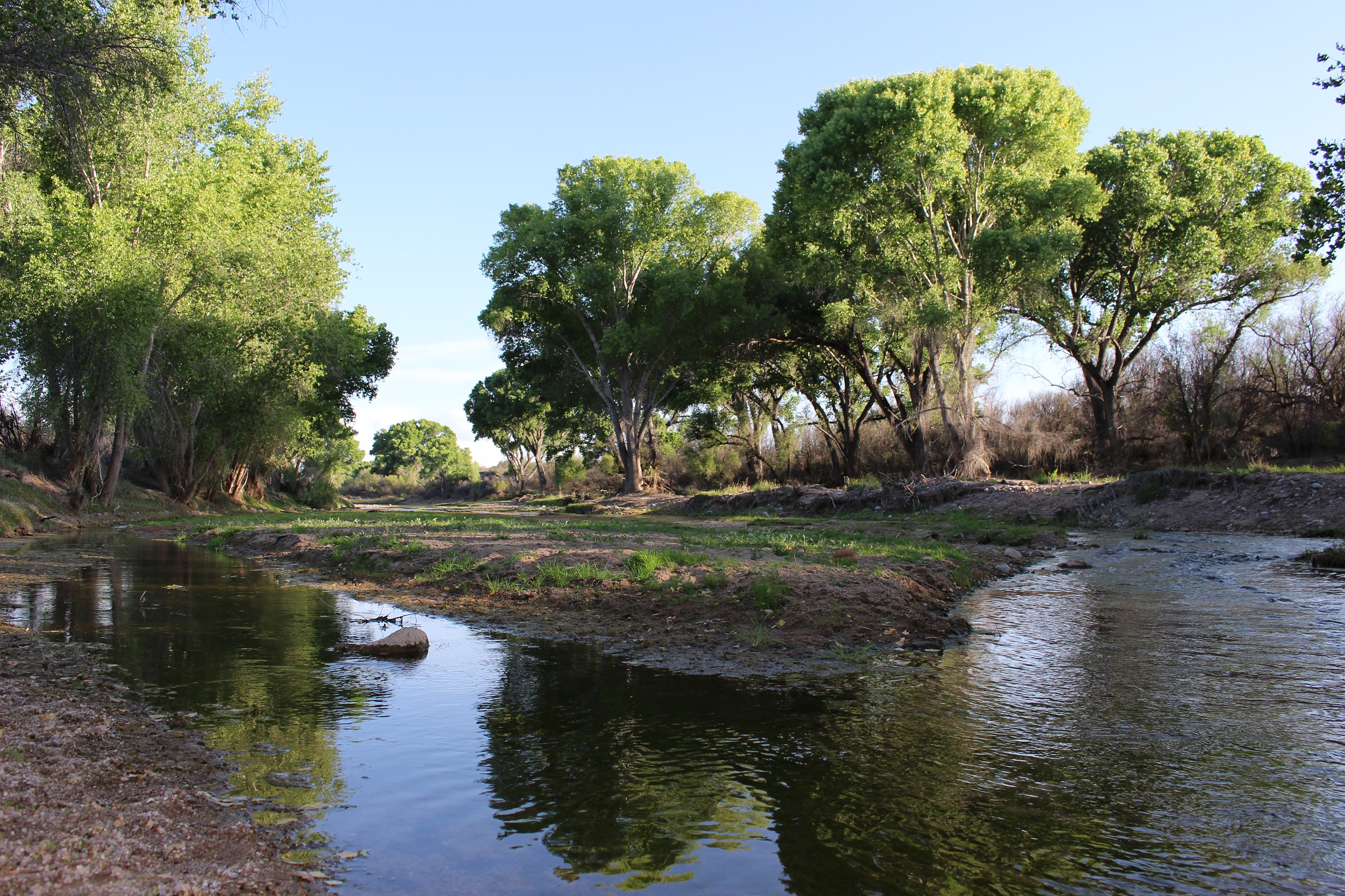
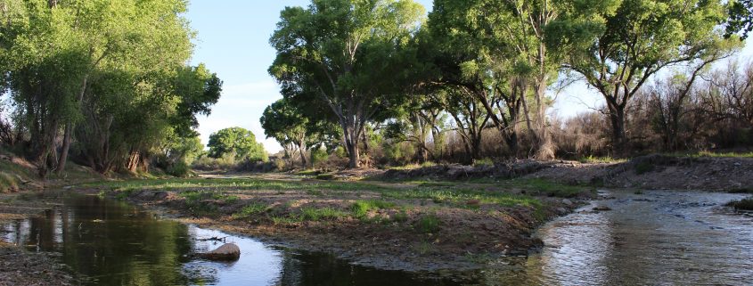
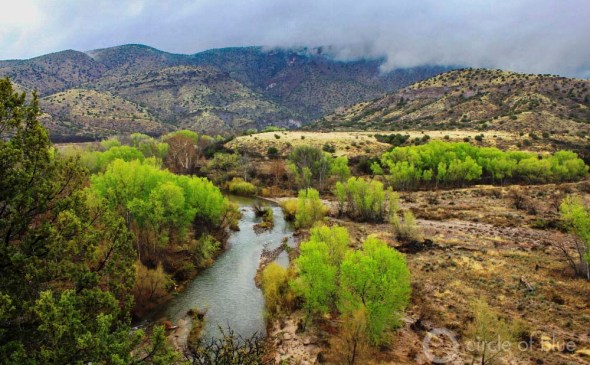
The San Pedro River is fed by groundwater flowing from the San Pedro Aquifer, which spans the U.S.-Mexican border. Through a collaborative research program, scientists are gaining a better understanding of these aquifers. Photo courtesy of the Bureau of Land Management
By Brett Walton, Circle of Blue
Not only are they geographic features, the rivers that mark the U.S.-Mexico border are also cultural icons. In March 2014, when the Colorado River surged into its delta for the first time in decades, the riverside town of San Luis Rio Colorado exulted. Children who had known the river only as a sandy channel splashed in its ripples while community members honked tubas on the banks.
Such public reverence is not directed at the other water resource that crosses the border: the region’s aquifers. Even for scientists, water officials, and politicians, these aquifers are a largely a blank spot. There is no consensus on their number, their boundaries, or how water moves through them. Understudied and neglected, such “transboundary aquifers” are a glaring omission for two countries that have jointly managed rivers for more than seven decades.
It is not a lost cause, though. A turning point may be at hand. An aquifer research program that the U.S. Congress authorized a decade ago is completing its work. Researchers and water agencies from both countries mapped and characterized two aquifers on the border of Arizona and Sonora, a state in northwest Mexico. They published the final report on the San Pedro Aquifer in January, while the report on the Santa Cruz Aquifer is expected early next year. The reports give the first unified picture of the groundwater systems and provide a new basis for understanding and managing water resources in the arid Southwest.
“You can’t talk about management if you don’t know the condition of your resource,” Sharon Megdal, a University of Arizona professor and member of the study group, told Circle of Blue. “We’re just at the point of being on a common page for research.”
A Unified Map
By some accounts, the United States and Mexico share as many as 36 aquifers. Another study claims that there is reasonable evidence for 16. The uncertainty is due to ignorance. Scientific studies often use data from only one side of the border, and aquifers are catalogued according to different concepts and models.
The Transboundary Aquifer Assessment Act aimed to change that. Signed in December 2006, the act prioritized four groundwater basins for joint study: the Hueco Bolson and Mesilla aquifers near El Paso and Ciudad Juarez, and the Santa Cruz and San Pedro aquifers. A 2009 research agreement between federal agencies and universities from both countries narrowed the research scope to the Santa Cruz and San Pedro.
Understanding the border hydrology matters, says Chris Scott, a University of Arizona professor who is a member of the study group. What happens on one side of the border affects the other. Farming, mining, urban growth, and irrigation all contribute to groundwater declines or pollution if water inflows and outflows are not tracked and mapped. Neighbors may draw water away from nearby wells, in effect pirating the resource. Gabriel Eckstein, a Texas A&M University law professor who studies border aquifers, reckons that roughly a dozen sister cities on the border use groundwater exclusively for municipal supply.
For the Santa Cruz and San Pedro aquifers, researchers now have common definitions, data, and maps. Megdal said the collaborative approach “is in the vanguard” for transboundary aquifer assessment worldwide.
Though a success, the research program is smaller than originally envisioned. The 2006 law authorized $US 50 million over 10 years, but the purse strings soon tightened. Congress allocated only $US 3 million to the program, and no money from 2010 to 2015. Contributions from all the partners kept the program going.
Asked how the additional money would have helped, Megdal drew a breath and said that it would be “a whole different story.” The team could have supported long-term modelling studies that require years of work and predictable funding. These studies harmonize the different computer models used in both countries and forecast changes in future water flows due to a warming climate.
Management
The question now is how managers and politicians will use the information. Given that so few of the world’s transboundary aquifers have a management agreement — fewer than 10 out of 592 aquifers — a step in that direction seems unlikely at the moment, Megdal argued.
“Binational management through a minute or treaty like for the Colorado River is, at this point, controversial and not around the corner,” Megdal said. A significant factor is that groundwater management in the United States is delegated to the states while in Mexico it is a prerogative of the federal government. Negotiations for groundwater would take place at multiple levels of government, both nationally and internationally.
Pressure for political intervention is building, though. The Albuquerque Journal editorial board made the case on August 29 that New Mexico, Texas, and Mexico should seek regional water management solutions for the Mesilla Aquifer, one of the basins identified in the transboundary aquifer act. There is rising demand in the area and a limited amount of fresh water.
“With the uncertainty of how long fresh water supplies will last, now may be the right time for New Mexico, Texas and Mexico to work out agreements to balance everyone’s interests and start planning for the future before the resource runs out or becomes unusable,” the board wrote.
Brett writes about agriculture, energy, infrastructure, and the politics and economics of water in the United States. He also writes the Federal Water Tap, Circle of Blue’s weekly digest of U.S. government water news. He is the winner of two Society of Environmental Journalists reporting awards, one of the top honors in American environmental journalism: first place for explanatory reporting for a series on septic system pollution in the United States(2016) and third place for beat reporting in a small market (2014). He received the Sierra Club’s Distinguished Service Award in 2018. Brett lives in Seattle, where he hikes the mountains and bakes pies. Contact Brett Walton

