
WHYMAP takes water question underground
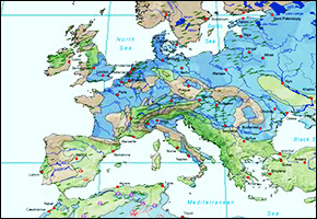
Although unknown to many, it is no secret that much of the world’s water sources from aquifers beneath the soil. Thanks to UNESCO’s World-wide Hydrogeological Mapping and Assessment Programme (WHYMAP) visualizing the supply no longer requires an expert’s eye. WHYMAP’s newest graphic is a colorful global groundwater map, showing transboundary aquifers across the world. The map displays a wealth of hitherto incoherent data useful for a planet short on water.
Source: WHYMAP, WaterWired


Leave a Reply
Want to join the discussion?Feel free to contribute!