
Draft USGS Water Strategy Collides With Tough Budget Situation
Some key programs identified in the draft, which was released earlier this week, are also facing budget cuts for the 2013 fiscal year.

Brett Walton
Circle of Blue
Data collection and watershed modeling, resource assessments and supply forecasts, as well as flood preparations are top priorities for the U.S. Geological Survey, the federal government’s premiere water research agency, according to its draft 10-year strategy for water science, which was released on Monday.
Yet, despite their significance, some of these programs — especially data collection and monitoring — will see a cut in funding next fiscal year, if the U.S. Congress follows President Barack Obama’s budget proposal.
The agency’s water-science strategy is part of an internal reorganization that began in 2007. Seven new “mission areas”–natural hazards, ecosystems, and environmental health, for example–soon replaced the traditional departments, broken down into branches of sciences such as hydrology, geology, and biology. In turn, each mission area has produced a strategic plan, describing essential programs and goals.
“These strategies will guide science and technology investment and workforce and human capital strategies,” said USGS director Marcia McNutt in the forward to the water report. “They will inform our partners regarding opportunities for communication, collaboration, and coordination.”
The report’s introduction notes that the intended audience is the policymakers “who will determine the future resources with which the USGS has to conduct its work.”
The strategy, in other words, is both a statement of priorities and a guidebook for those who sign the checks.
The latter point is especially germane, considering the fiscal year 2013 budget that is making its way through Congress. In the president’s budget request, the only USGS mission area with a cut in funding is the water resources mission, facing a 2 percent decrease.
Some water programs will get more money, however. WaterSMART — a new inter-agency initiative to study national water availability — will see its coffers swell by $US 8 million, or by 62 percent. There is also more money for linking existing groundwater monitoring wells into a national network and for the National Streamflow Information Program, which targets monitoring sites deemed to be in the national interest.
But other basic data collection programs will fare much worse. Compared to spending in fiscal year 2011, the budget request cuts nearly 10 percent from the Cooperative Water Program, which operates streamflow gauges and does interpretive studies. Also stricken by more than 15 percent would be the National Water Quality Assessment, which monitors both surface and ground water quality.
During her testimony before a House subcommittee in March, USGS director McNutt said that the budget request “reflects difficult choices that had to be made in order to advance hydrologic science priorities.”
Pixie Hamilton, the national coordinator for the Cooperative Water Program, told Circle of Blue that the $US 5 million cut to her program would mean that up 1,300 monitoring stations — out of roughly 17,000 that measure streamflows, water quality, and groundwater levels — could be discontinued. The money, she said, is supposed to come out of the funds for interpretive studies, but monitoring often ends up eliminated in tandem.
“Even though the cuts are in the name of interpretation,” she said, “monitoring often gets cut. It’s difficult to separate assessments from monitoring.”
These data collection and water monitoring programs are vital, according to the National Academy of Science, which concluded in a 2009 evaluation that “sufficient funding should be provided for the USGS to perform its function as a major science agency: to ensure high quality data collection, interpretive programs, and development of essential forecasting and predictive tools to support effective management of the nation’s critical water resources.”
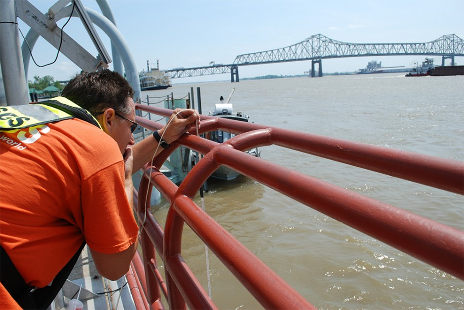
There is high demand for these products. The USGS gets more than 20 million requests per month for real-time streamflow data, which is used for everything from flood forecasting and climate modeling to highway planning, river management, and ecosystem protection. Scientists and researchers are especially keen for the standardized, high-quality measurements that are a hallmark of the USGS system.
— Peter Evans, executive director
Interstate Council on Water Policy
That is why the cuts to data collection have frustrated Peter Evans, who argues that the agency should do more to protect its core strength. Evans has worked with officials in the last two presidential administrations in his role as the executive director of the Interstate Council on Water Policy, a network of state and regional water management agencies that seeks better coordination of state and federal water policies.
“All this data,” Evans told Circle of Blue, “is crucial for things that the Obama administration wants to do: restoration of the Everglades, the Chesapeake Bay, and the Great Lakes and conservation programs in the Sacramento-San Joaquin Delta.”
Without a basic understanding of the physical resource, he says, the interpretive studies and the restoration projects may go off the rails. “Everyone seems to agree that the data USGS collects is essential, not only for federal agencies, but for state and local managers too. But time and again, the administration puts its money on different priorities.”
“Every country in the world is jealous of the USGS,” Evans said. “It’s the gold standard.”
Public comments on the draft water strategy are being accepted through August 1. Make comments to the draft strategy here. Read the full document here.

Brett writes about agriculture, energy, infrastructure, and the politics and economics of water in the United States. He also writes the Federal Water Tap, Circle of Blue’s weekly digest of U.S. government water news. He is the winner of two Society of Environmental Journalists reporting awards, one of the top honors in American environmental journalism: first place for explanatory reporting for a series on septic system pollution in the United States(2016) and third place for beat reporting in a small market (2014). He received the Sierra Club’s Distinguished Service Award in 2018. Brett lives in Seattle, where he hikes the mountains and bakes pies. Contact Brett Walton


Leave a Reply
Want to join the discussion?Feel free to contribute!