Virtual geology: New map to expose hidden water, minerals, and oil

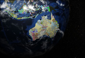
LILLESTROEM, Norway – A new geological map, launched in Norway, shows the planet reduced to bedrock and that which lies beneath it. Ian Jackson, chief of operations at the British Geological Society, tells Reuters he believes the project will profit both public and private interests.
The online cartography project, christened OneGeology, premieres the UN-declared International Year of Planet Earth. Likened to Google Earth, the project provides detailed data from over 80 nations and covers nearly three-quarters of the globe. The compiled information enables scientists, engineers, and local governments to respond to current crises, such as global warming — identifying optimal areas to bury greenhouse gases and access much-needed underground water supplies.
“Rocks are not inert, they influence the supply of water and the formation of soil, and so impact flooding and agriculture,” Jackson tells the BBC. With droughts and floods impacting economies across the planet, the OneGeology tool provides a useful starting point for disaster management.
He also emphasizes that engineers and developers can use the map to locate natural resources in developing countries such as Afghanistan and Sierra Leone. “Mr Jackson suggested that the project should encourage the mining of minerals in developing countries, by making maps available that were previously unavailable to outside investors,” the BBC reports.
Whether war-wrought nations will benefit from such investment remains unknown. Sierra Leone currently faces heavy flooding as it recovers from a bloody civil conflict linked to the diamond trade. And Afghanistan continues to endure a war on its home front, while struggling to survive one of the worst droughts in recent history.
Read more here.


Leave a Reply
Want to join the discussion?Feel free to contribute!